See what any place looked like decades ago
Step-by-step guides to historical aerial photos, satellite imagery, old topographic maps and elevation data. Every guide is run on real public landmarks and dated, so you know what the free tools actually return.
What you can look up
Five topics, all built on public records you can use for free. New guides are added as they are tested.
Historical aerial photos
Find old aerial photos of a place and see how far back each archive goes.
Coming soonTopo maps & contour lines
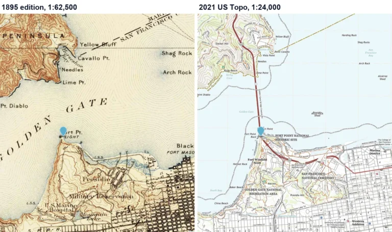
Download USGS topo maps and learn to read contour lines and map symbols.
1 guide →Historic & Sanborn maps
Use public-domain map archives, including fire insurance maps, to trace a street’s past.
Coming soonElevation & LiDAR
Look up the elevation of a location and understand how accurate the number is.
Coming soonThen & now
Compare satellite and aerial images across years to see how a landscape changed.
Coming soonHow every guide is made
The same three rules apply to every page on this site.
Tested on public places
We repeat each search on well-known landmarks, never private homes, and record exactly what came back.
Dated results
Each guide shows when it was last tested, because archives and tools change.
Licensed images only
We show public-domain and openly licensed images, and link to restricted sources instead of copying them.
Found an error or an outdated step?
Tell us the page and what you saw. We check every report against the source.